
BY KIMBERLY MAYER
Reading the road signs has always been one of my enduring pleasures in riding around on San Juan Island. All I could think was that islanders had some fun naming their roads, for that’s the story I’d always heard. Turns out it was a little more complicated than that. What looks so pleasant on the surface, has in fact a complicated history.
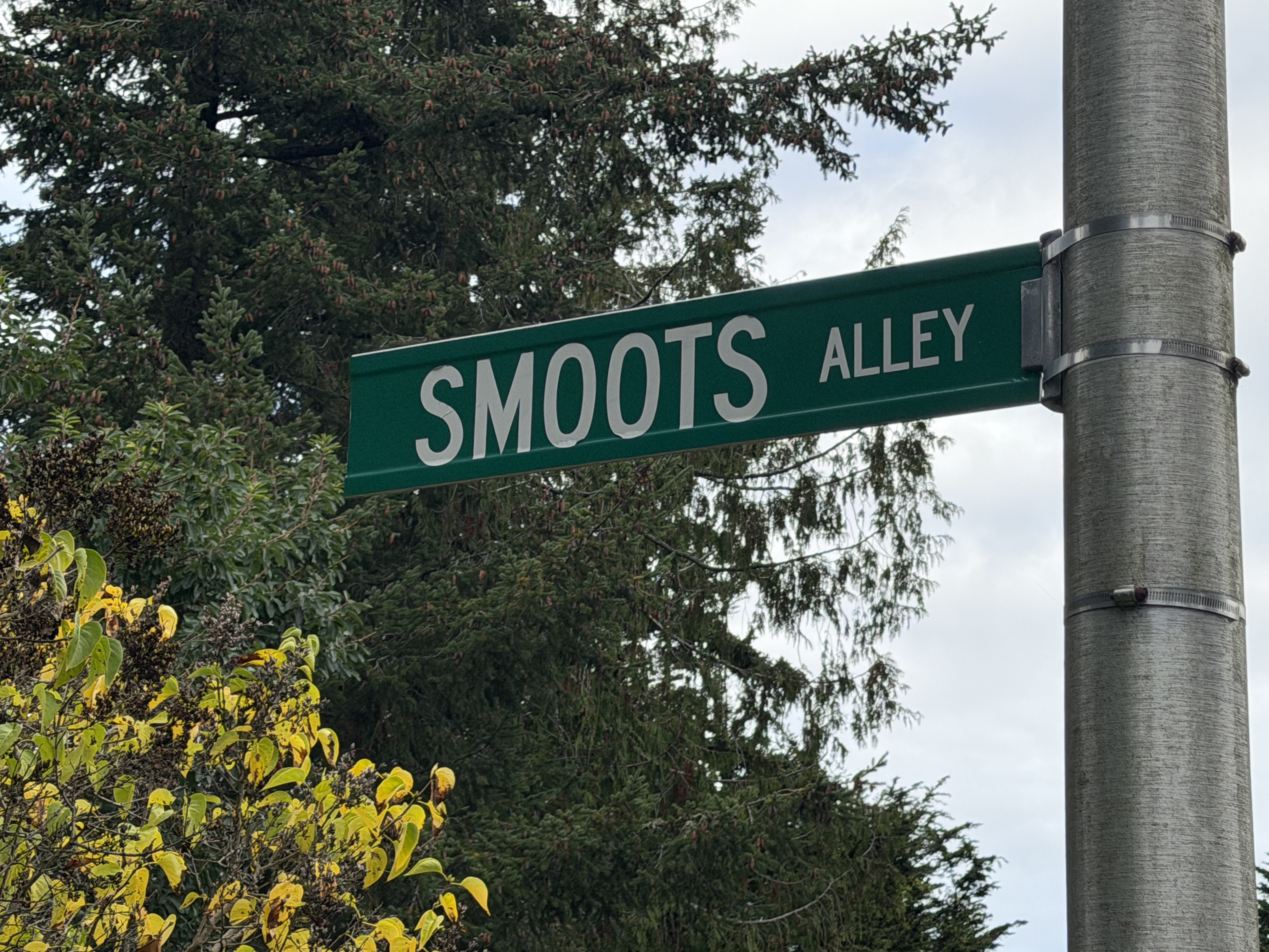
Laughing Meadow Lane, Hoot and Howl, Smoots Alley
In the early 1990’s something much larger was afoot: the implementation of a voter-approved and State-mandated initiative, Enhanced 911. Naming of roads was just part of the project. Until that time—before smart phones, before Goggle Maps and Map Search–911 responders had to rely on callers being able to identify their location. Yet there was no overall map of all the roads and most private roads had no names on San Juan Island. Only in the town of Friday Harbor was there any addressing at all. There were no addresses on Orcas, Lopez, and Shaw. Needless to say, 911 responders experienced a great deal of difficulty responding efficiently to calls. The new initiative was to mitigate all that by putting the caller’s name and address upon the dispatcher’s display screen.
Whatever Way, My Way, Lost Way
All the roads had to be found, mapped, and charted. An Enhanced 911 Coordinator was hired by the name of Manford Rose. He assembled the first mapping team comprised of Terri Clark and Deborah Parker “to drive each and every road, driveway and trail, throughout the County and record accurate location information using the relatively new technology of GIS (Geographic Information Systems). “Mapping grade GIS receivers were mounted to the top of a County truck, data cables strung from the antennae, through cracked open windows, to a handheld GIS device in the cab.” An artist and gallery owner in South Dakota today, Terri Clark described all this to me. How new the technology was at the time, and while it relied on a constellation of satellites to triangulate a location, how few the number of available satellites, as well as how poor the reception was “under wet tree canopy or next to solid rock walls adjacent to so many of the roads.”
Bar Nothin Ranch Road, Old Crab Lane, Whale Tail Trail
Announcements in newspapers forewarned residents of them coming “but it was impossible to let them know when we would be in particular neighborhoods, let alone be able to contact each of the residents individually. Many people were not at home, but those that were got quite a surprise when a bright yellow truck with a strange looking object on the roof came creeping up their driveway, then turned and drove off,” Terri tells me.
Colin Huntermeir, County Engineer, SJ County Public Works, describes it as “A transformative time. Backroads getting connected, and people who did not want to be found!” A longer process than anyone had anticipated, taking most of the decade, but at last San Juan Islanders could name their roads.
Rascal Road, Curley Way, Long Ago Lane
Interestingly, Waldron Island was exempted from the Enhanced 911 initiative, and to this day most roads on Waldron remain unnamed. Someday, someone is going to have to explain to me about Waldron.

 a little elbow room

